
Your Property DOCUMENTED.
Your Claim PROTECTED.
FAA-certified aerial documentation for property owners, absentee homeowners, and property managers across South Florida — before and after the storm.


FAA Part 107 Certified
South Florida Based - 300-Mile Radius
Rapid Storm Deployment - 48-72 Hr
Spexi Mapping Partner
When the Storm Passes, Documentation Decides Who Get PAID!
Insurance disputes aren't won in the courtroom — they're won at the point of documentation. Without a timestamped, professional aerial record of your property's condition before and after a storm, your claim is your word against your carrier's. If you own property in South Florida — especially if you're not there when it matters most — you need more than luck. You need proof.
STORM SHIELD PROGRAM
INTRODUCING STORM SHIELD by YDG Aerial
An annual aerial documentation program designed for property owners who can't afford to be caught unprepared.
Storm Shield is a two-flight annual program that documents your property before hurricane season begins and immediately after a weather event — giving you court-admissible, GPS-tagged, timestamped aerial imagery your adjuster can act on, fast.
FLIGHT 1 — MAY / JUNE
Pre-Storm Survey
Full property aerial documentation before hurricane season. Establishes your baseline condition record.
FLIGHT 2 — WITHIN 48-72 HOURS OF STORM
Post-Storm Survey
Damage documentation delivered in adjuster-ready format. Comparison imagery vs. pre-storm baseline.
What every Storm Shield package includes:
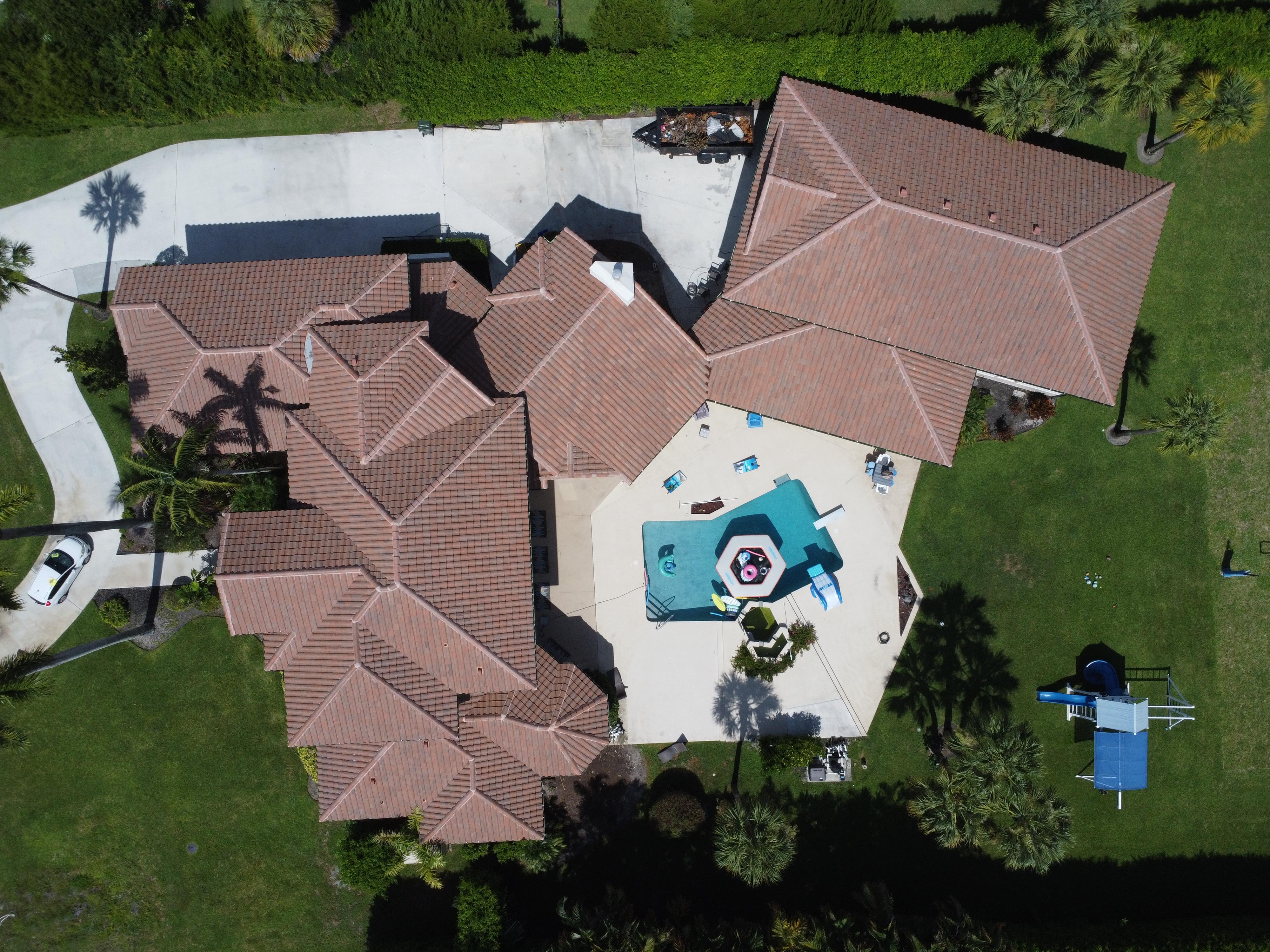
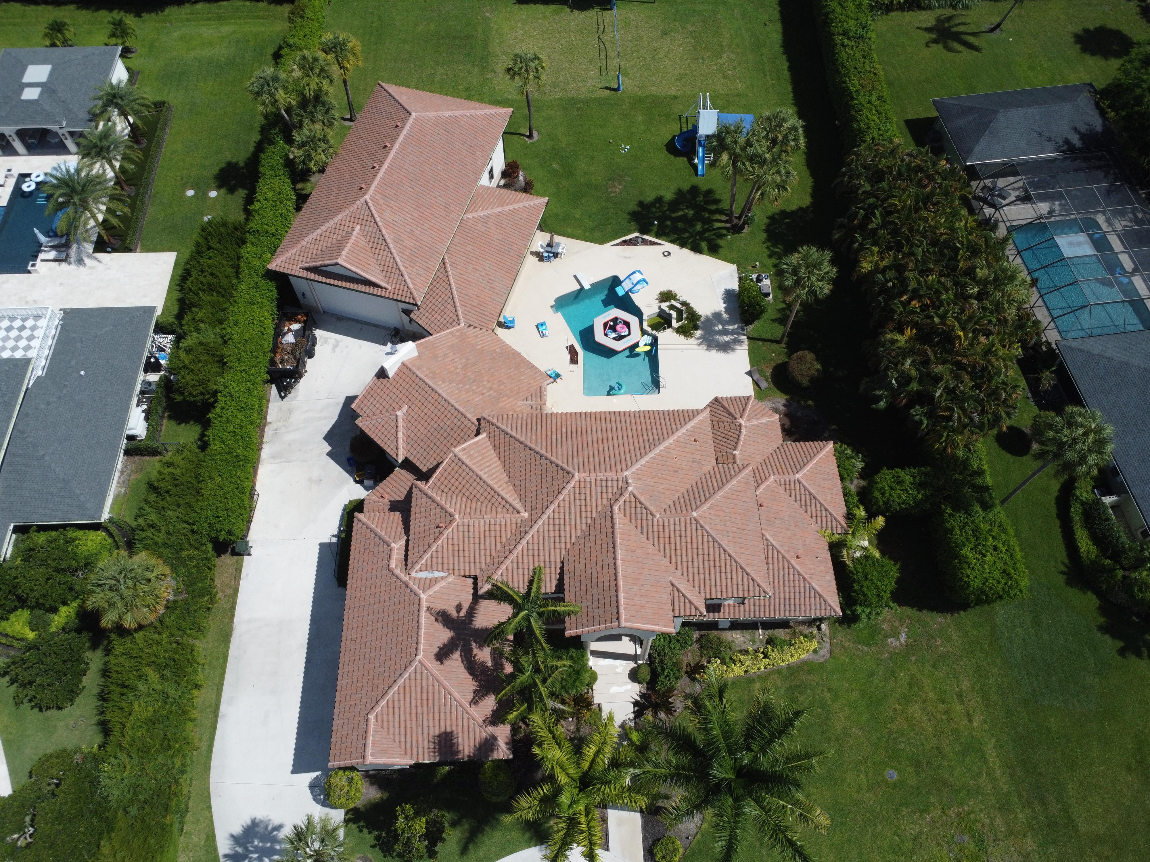
High-resolution GPS-tagged photography
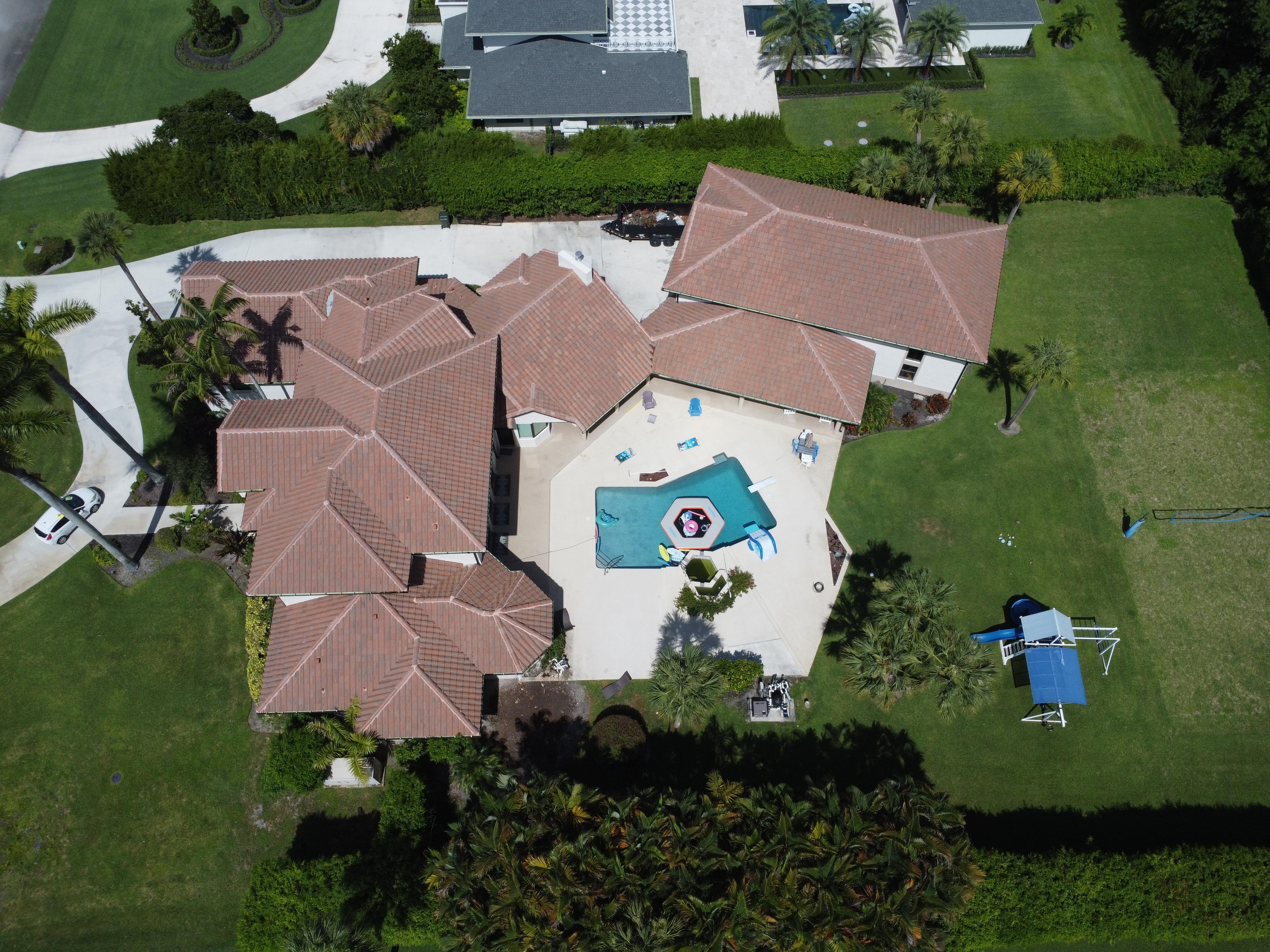
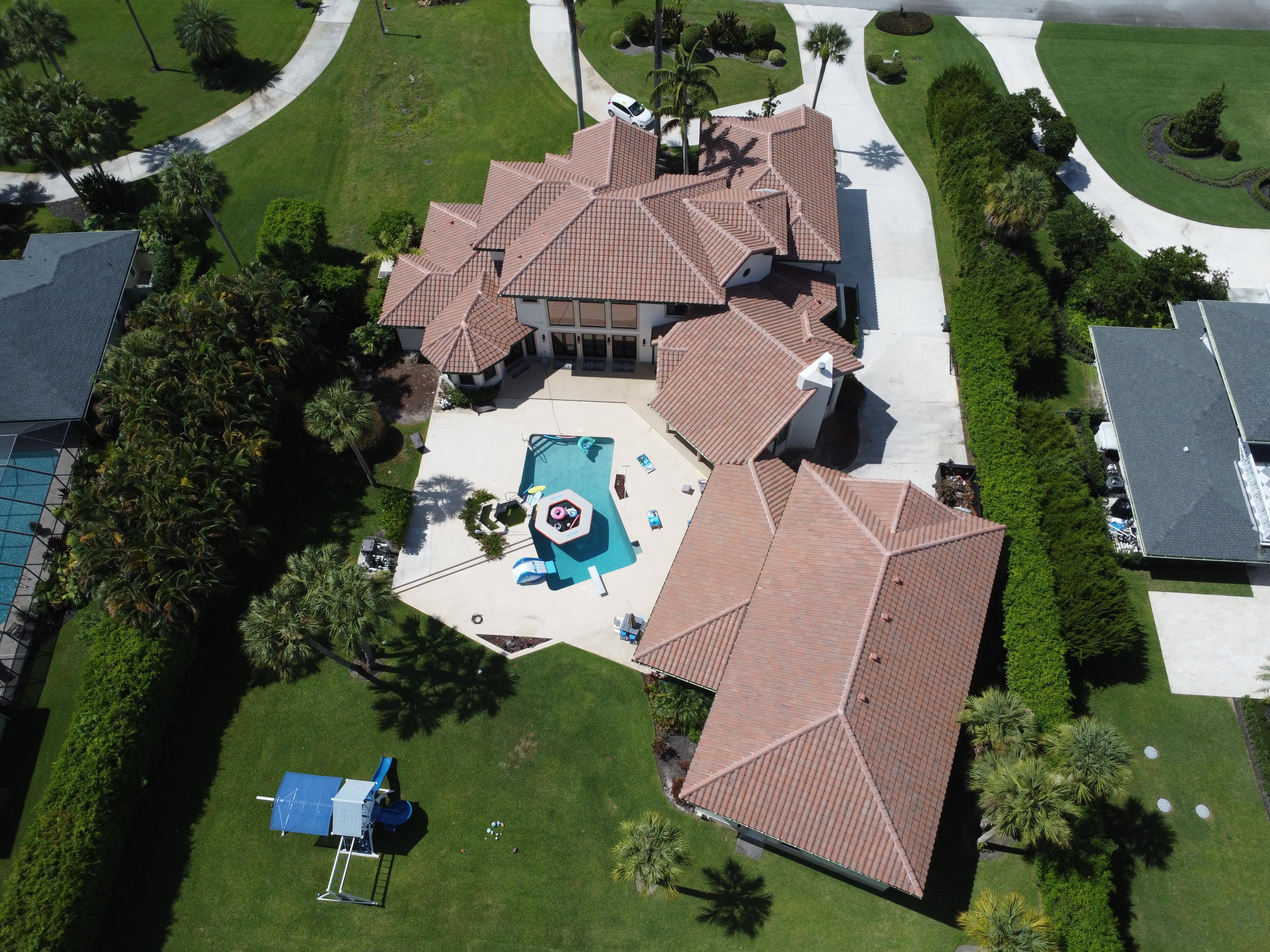
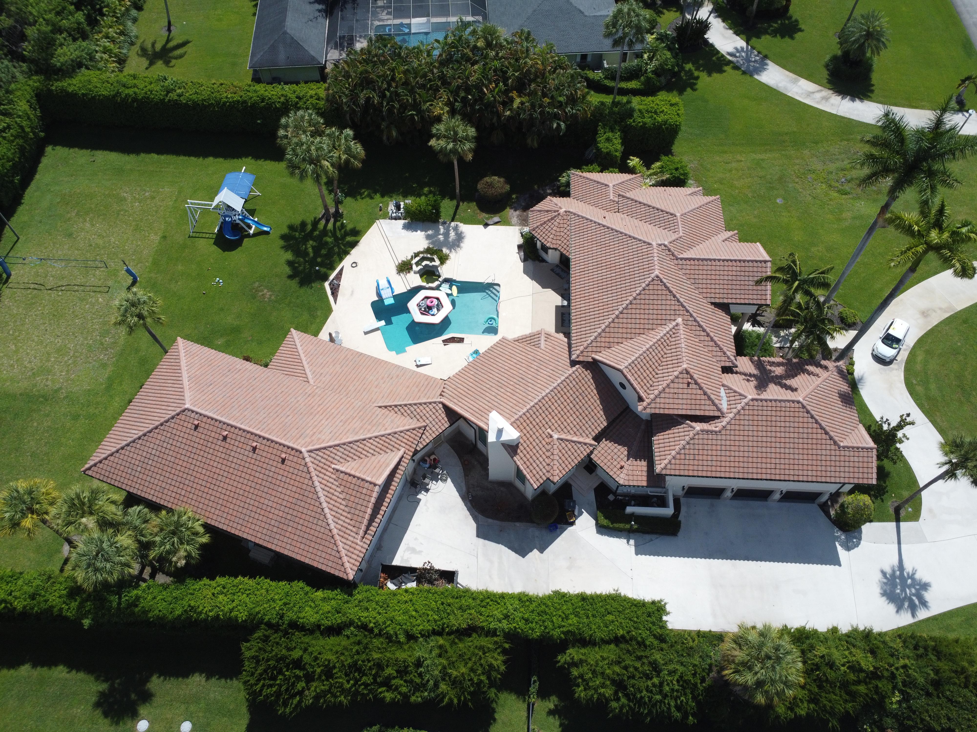
Multi-angle coverage including roof, facade, and grounds
Cardinal direction stills
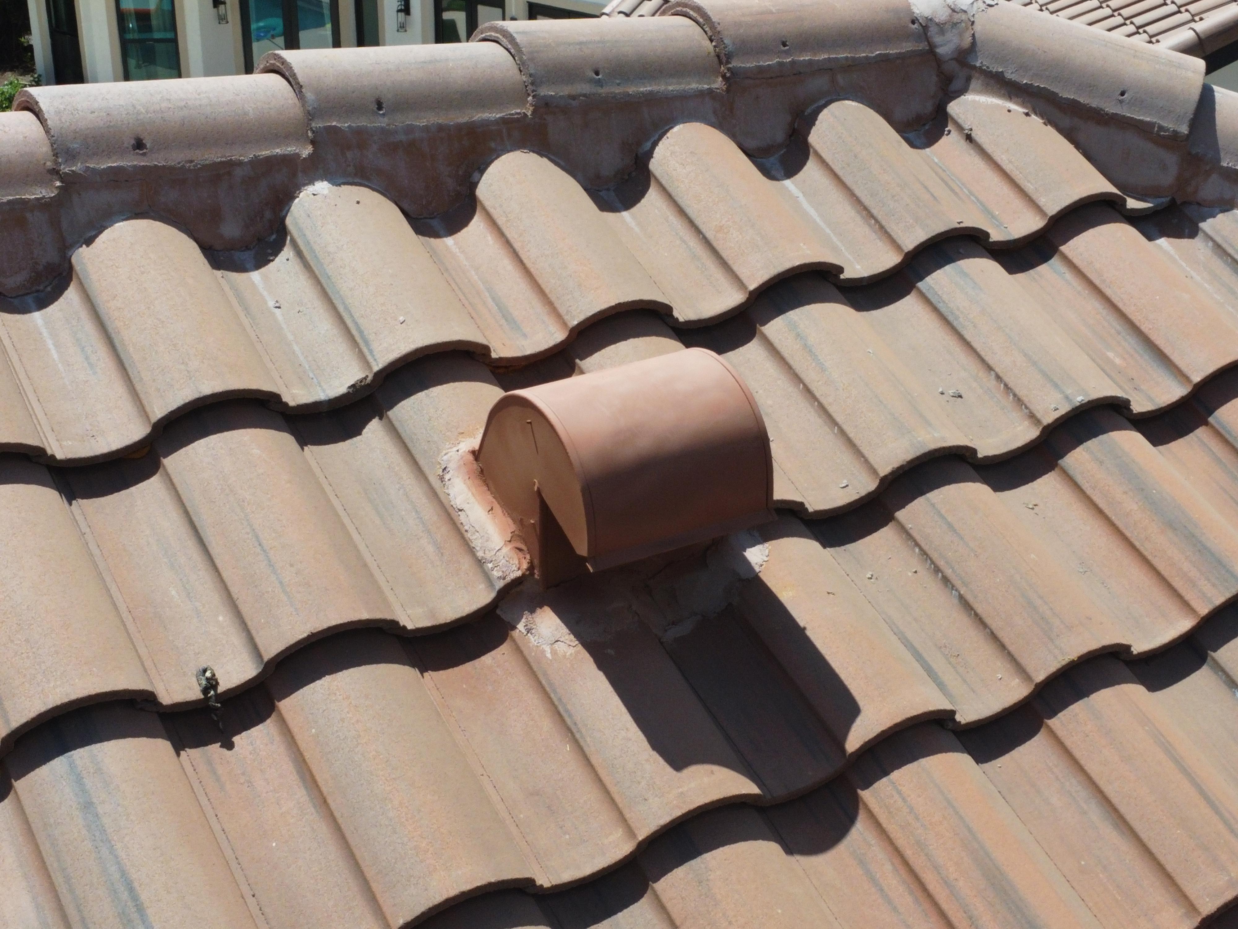
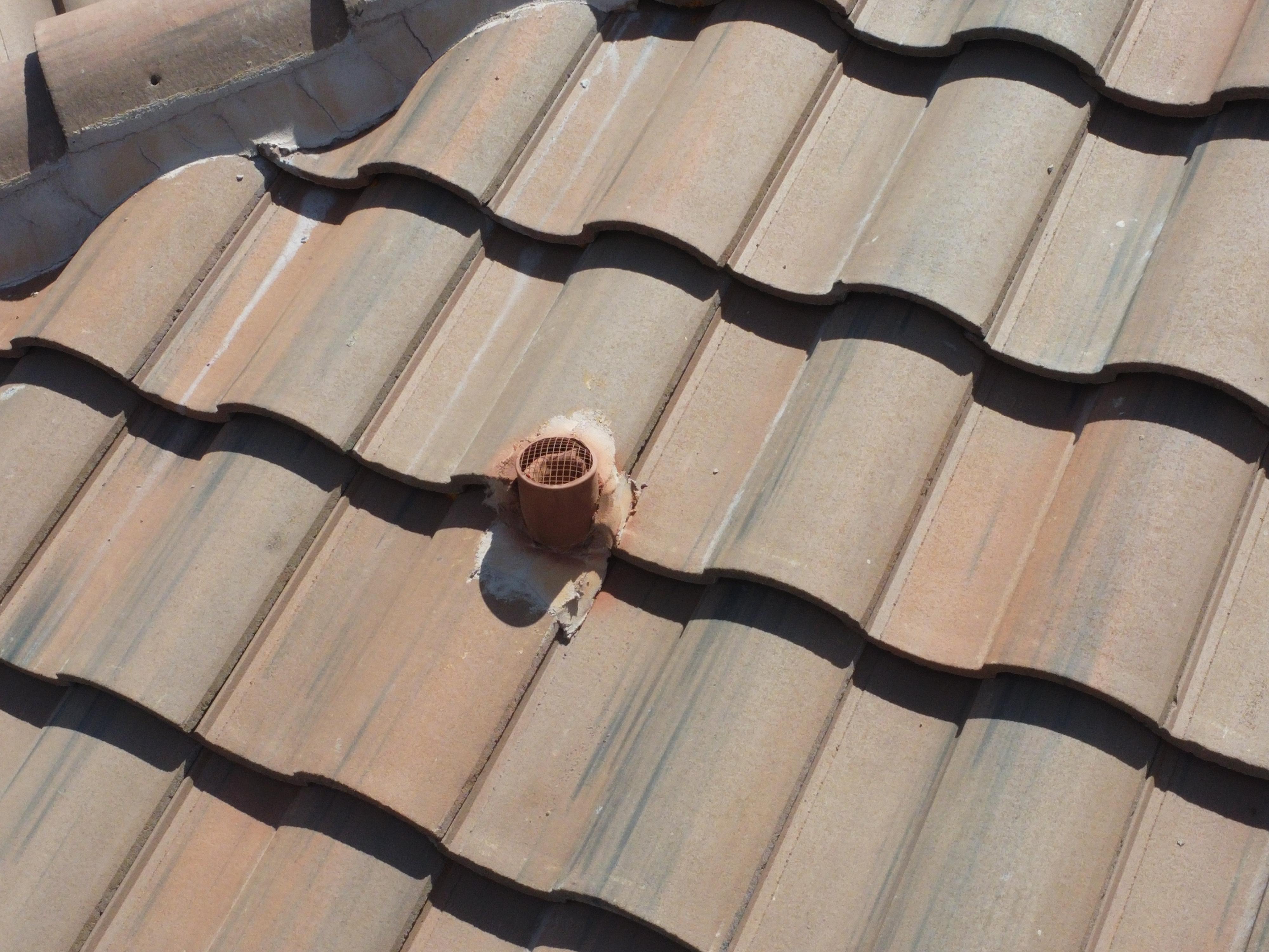
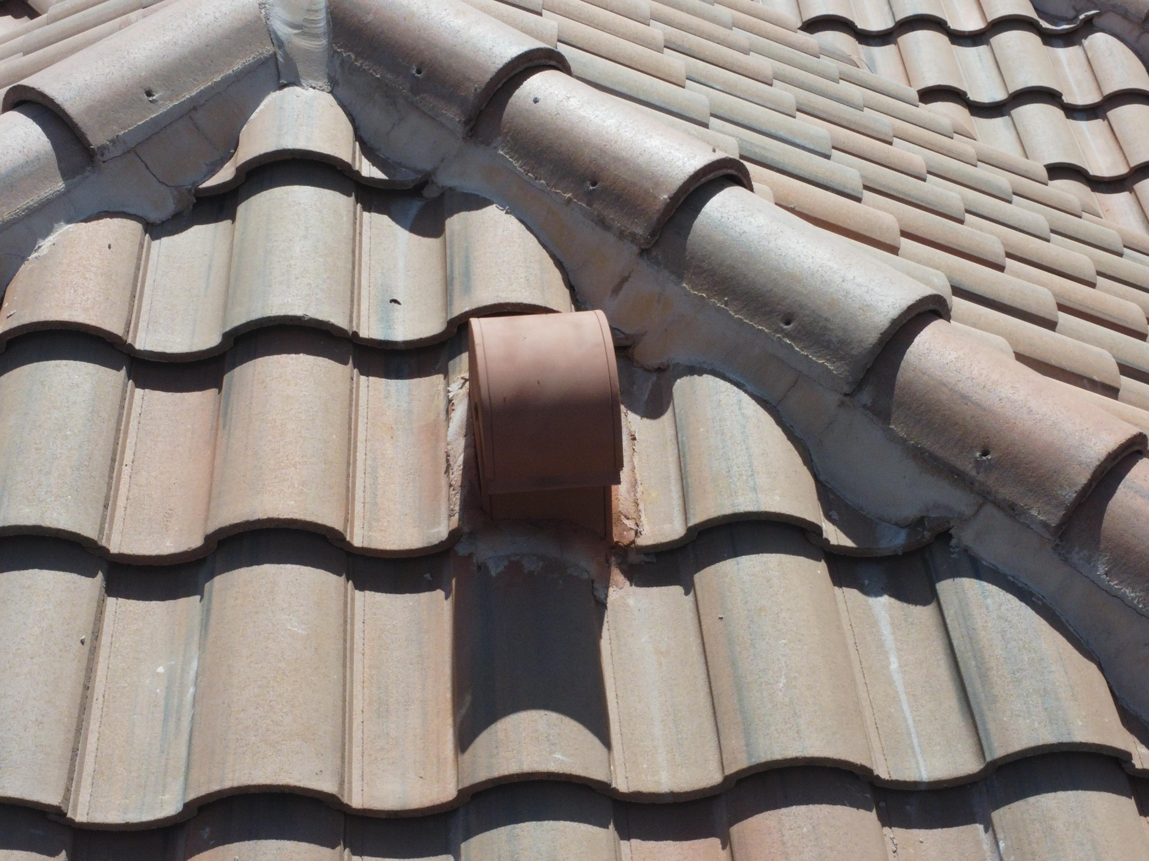
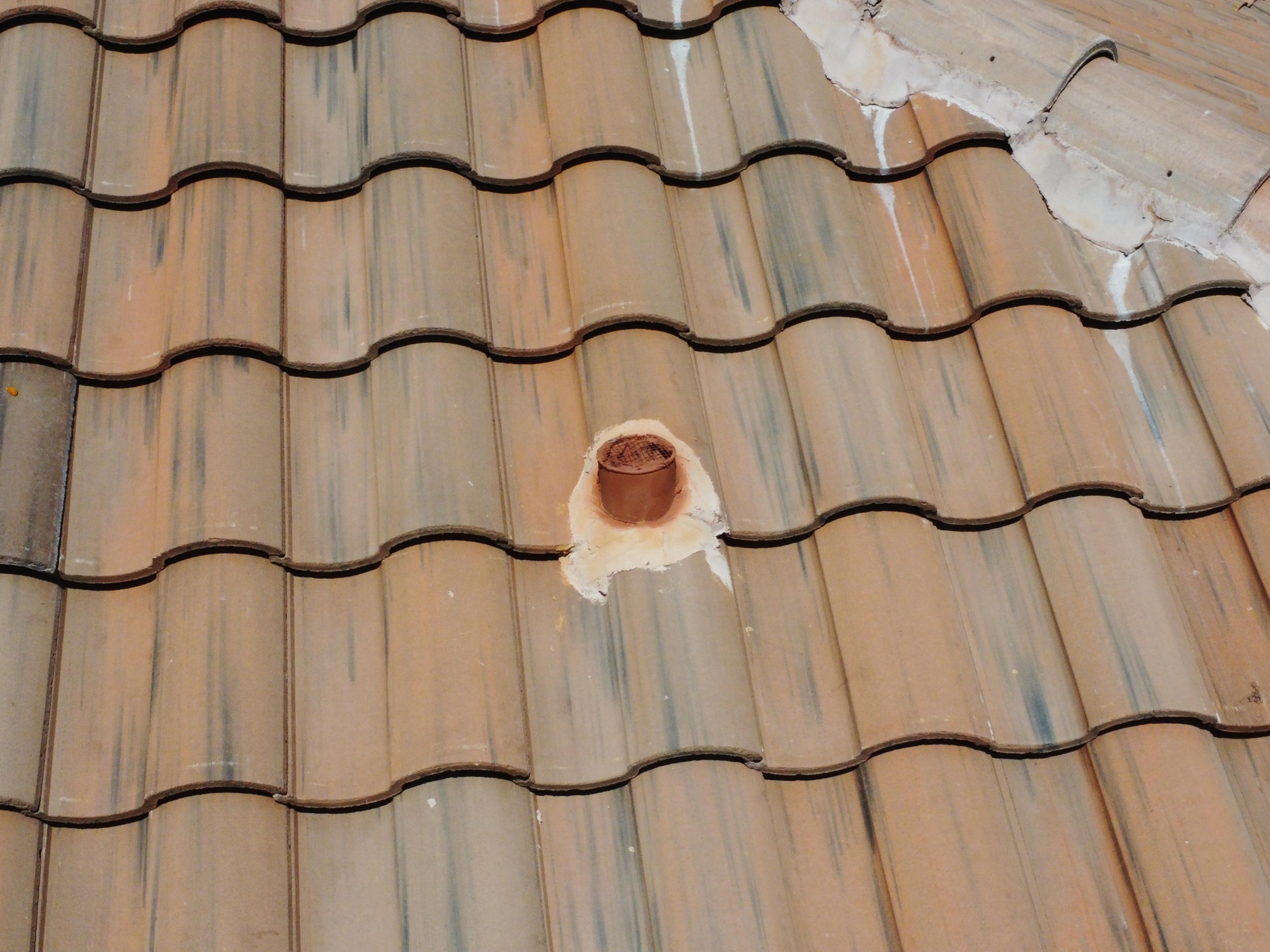
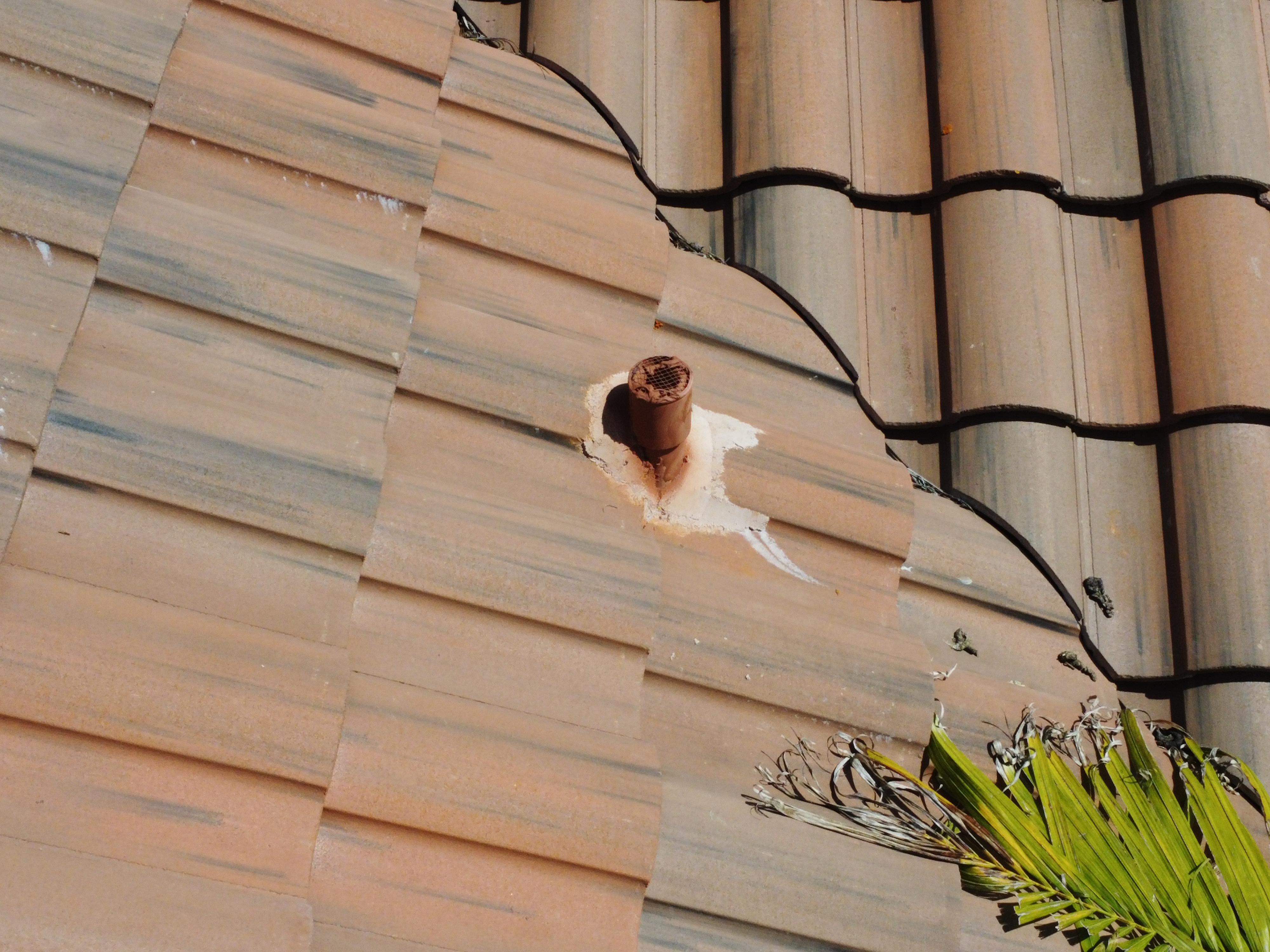
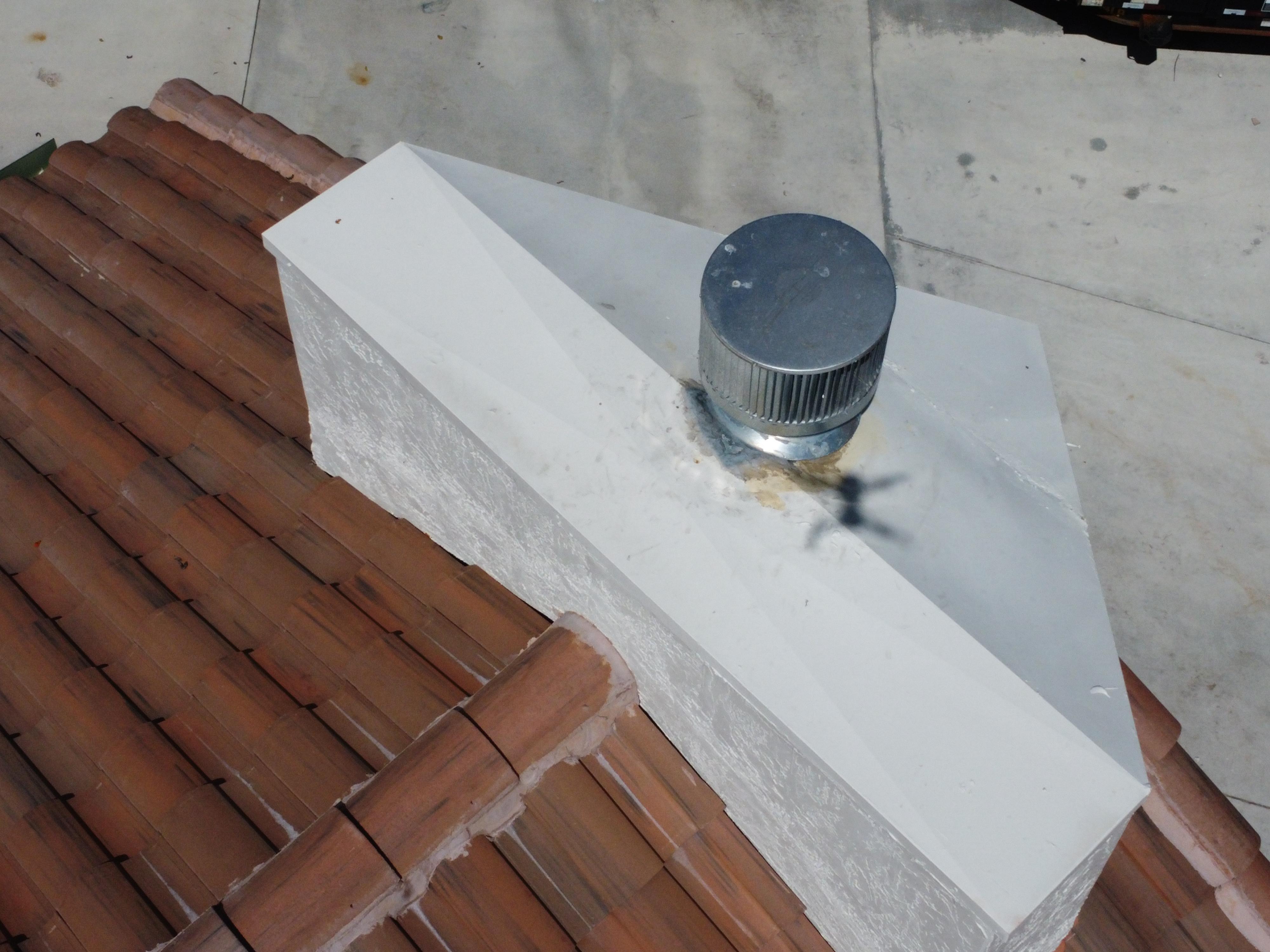
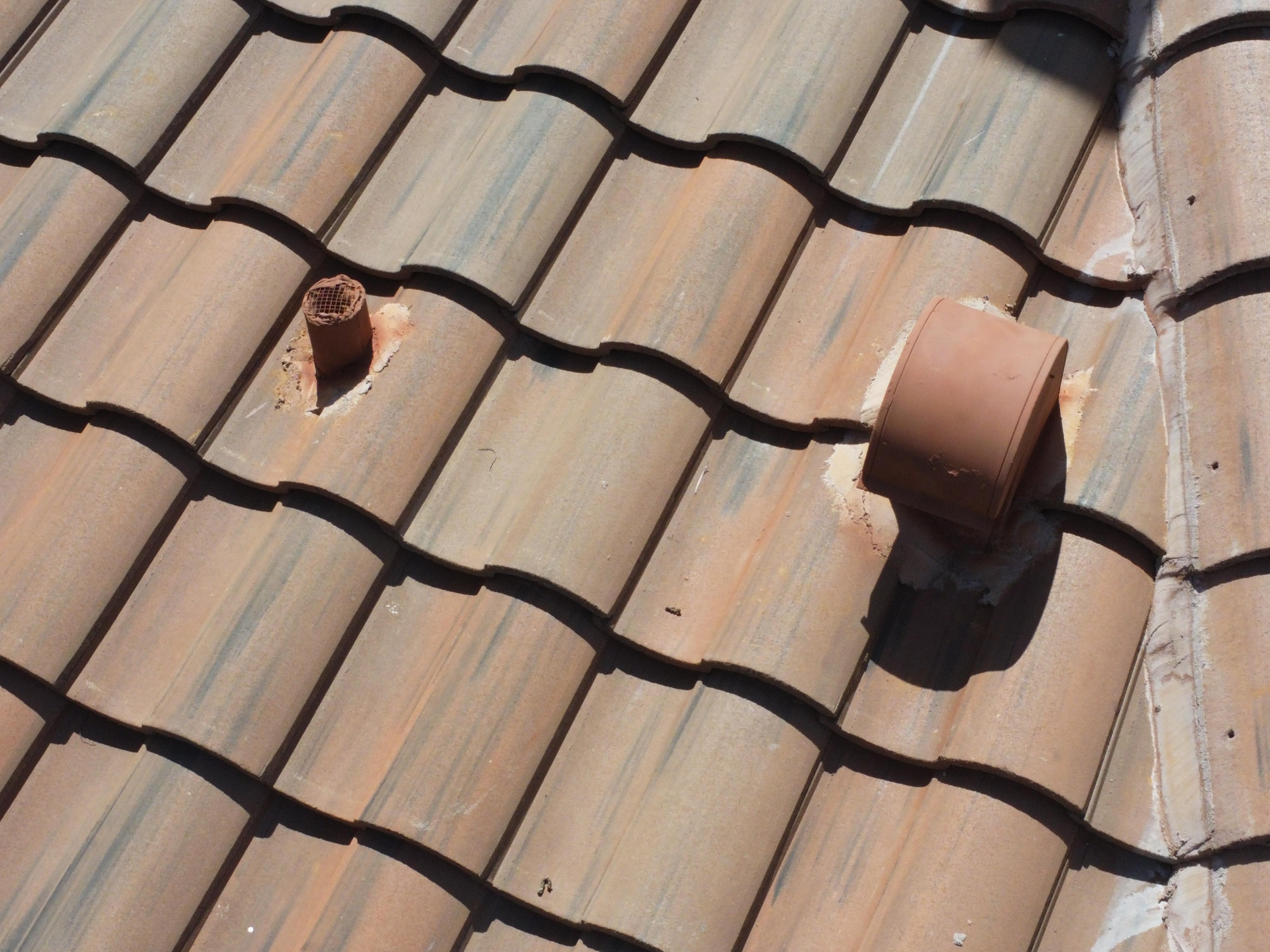
Roof penetration close-ups
Cloud-delivered photo archive
Adjuster-ready documentation format
ANNUAL PRICING
SIMPLE. TRANSPARENT.
One annual investment. Two flights. Full documentation. No surprises after the storm.
ESSENTIAL
$397/yr
Single Property | Still Imagery
Cloud Delivery
Two flights annually
High-res photography (stills only)
Cloud archive delivery
PROFESSIONAL
$597/yr
Full Report | GPS Tags
Adjuster-ready Format
Everything in Essential
Annotated PDF report
GPS-tagged imagery
Adjuster-ready format
PORTFOLIO
$1,497/yr
3-5 Properties | Batch Flights
Priority Service
Everything in Professional
3-5 properties covered
Same-day batch flights
6+ properties: Custom
Add-on
Video Package
Circular property video + facade walk-around +$150
Add-on
Rush Deployment
Post-storm flight within 48 hrs
+$200
All YDG Aerial Services
Storm Documentation
Pre and post-storm aerial documentation for insurance claims and property records.
Preconstruction Mapping
High-resolution orthomosaics and site mapping for developers and contractors.
Portfolio Programs
Recurring aerial documentation for property managers with multiple assets.
On-Demand Inspections
Single-flight property inspection with annotated report. Available year-round.
Don't worry, we can help!
HOW IT WORKS
Getting started takes 5 minutes

STEP 1
Request a quote
Fill out our short property form. We respond within 24 hours.

STEP 3
We fly and document
FAA-certified pilot documents your property. Report delivered within 48 hours.
STEP 2
We confirm and schedule
Pre-storm flight booked before June 1. You don't need to be present.
STEP 4
Storm hits? We deploy
Post-storm flight within 48–72 hours. Adjuster-ready report delivered immediately.
Built for owners who have too much at stake to leave it to chance
Absentee & Vacation Property Owners
You can't be there when the storm hits. We are. Your property is documented before and after — and your claim file is ready before you land.
Property Managers
Managing multiple properties means multiple claims. Portfolio programs give you consistent aerial records across every asset — one partner, one call.
High-Value Homeowners
Your home deserves professional documentation. Pre-storm aerial records protect your claim from being disputed by your own carrier's drone imagery.
Public Adjusters & RE Professionals
Partner with YDG Aerial to strengthen your clients' claims. We provide the documentation; you close the case. Referral programs available.
Request Your Storm Shield Quote
Tell us about your property and we'll send you a custom quote within 24 hours. No commitment required.
Why Choose Us?

600+ Hours of Flight Time
Not a weekend pilot. Over 600 logged hours across residential, commercial, and multi-state mapping operations. Experience you can see in every deliverable.

FAA Certified & Fully Insured
Part 107 certified. Fully liability insured. Every flight is legal, professional, and protected — for you and your property.

Rapid Post-Storm Deployment
South Florida based. 300-mile radius. 48–72 hour deployment after a weather event. Your documentation is ready before your adjuster asks for it.

Documentation Built to Win Claims
GPS-tagged, timestamped, adjuster-ready. We don't just deliver photos — we deliver a formatted evidence package designed to get your claim paid fast.
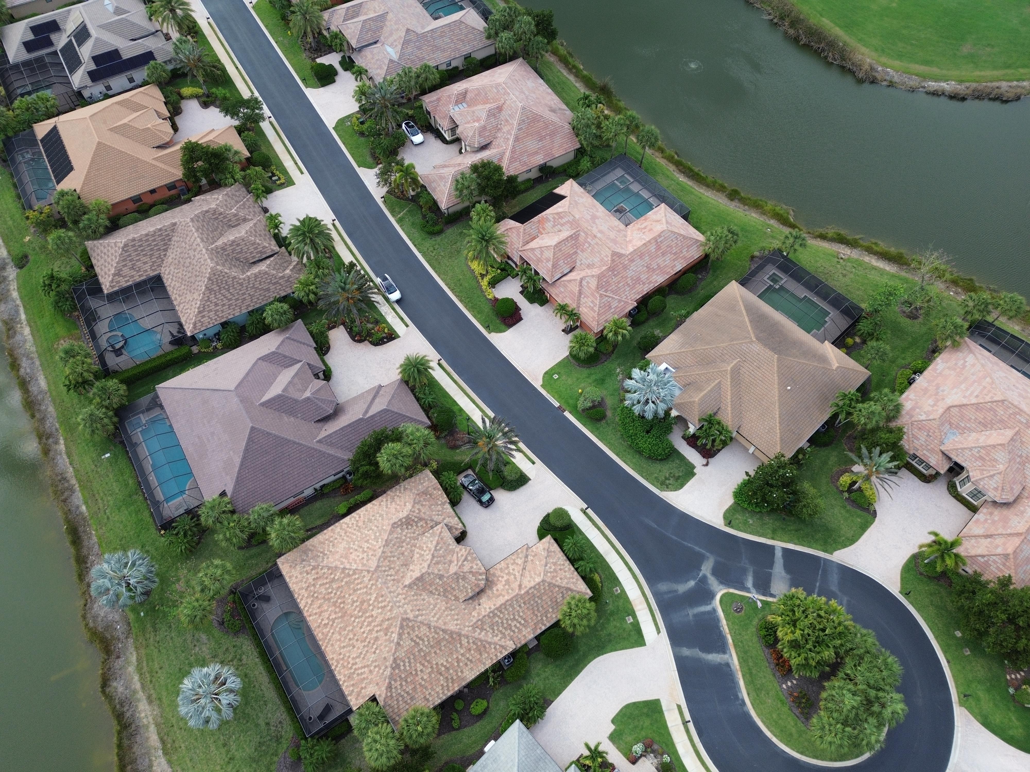
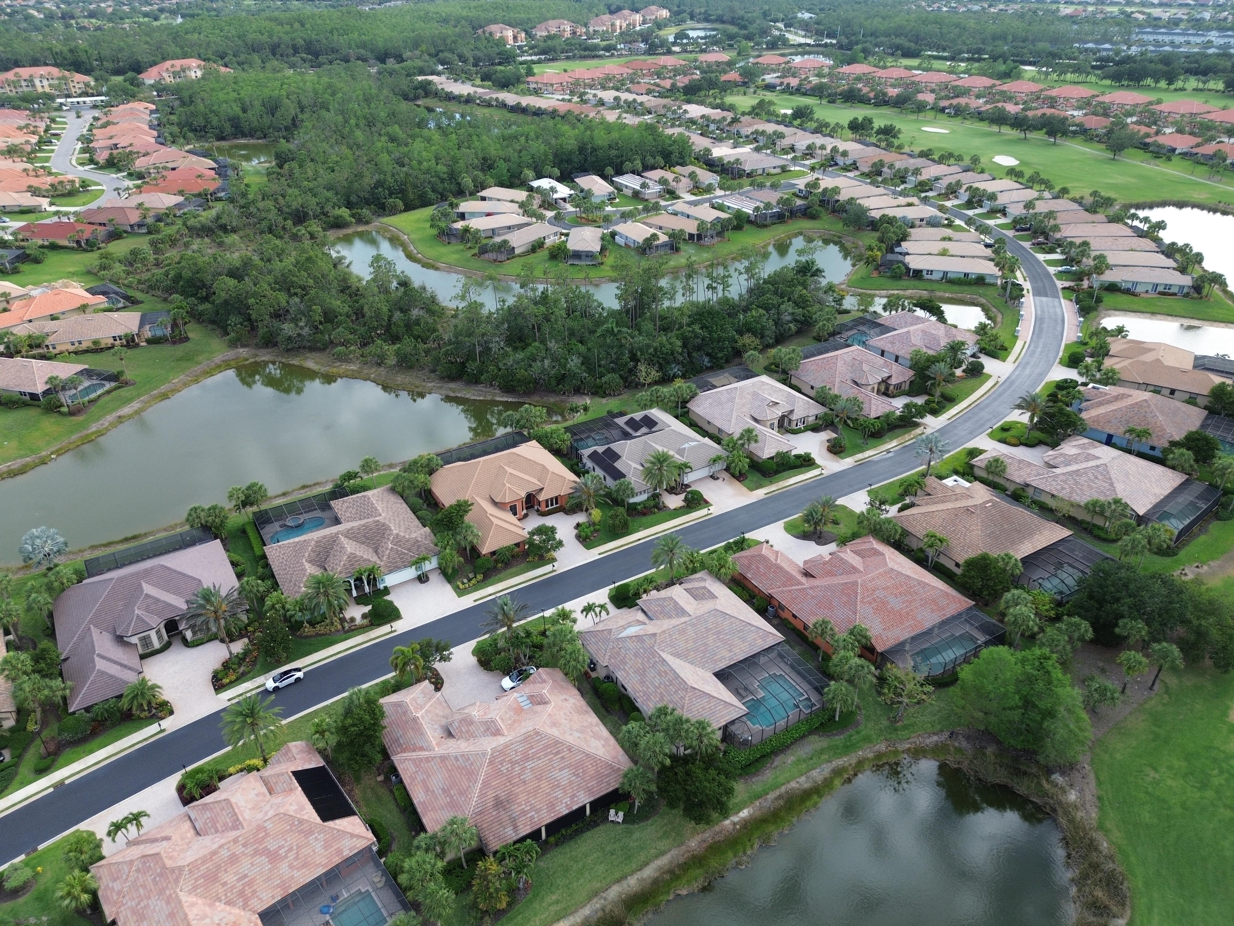
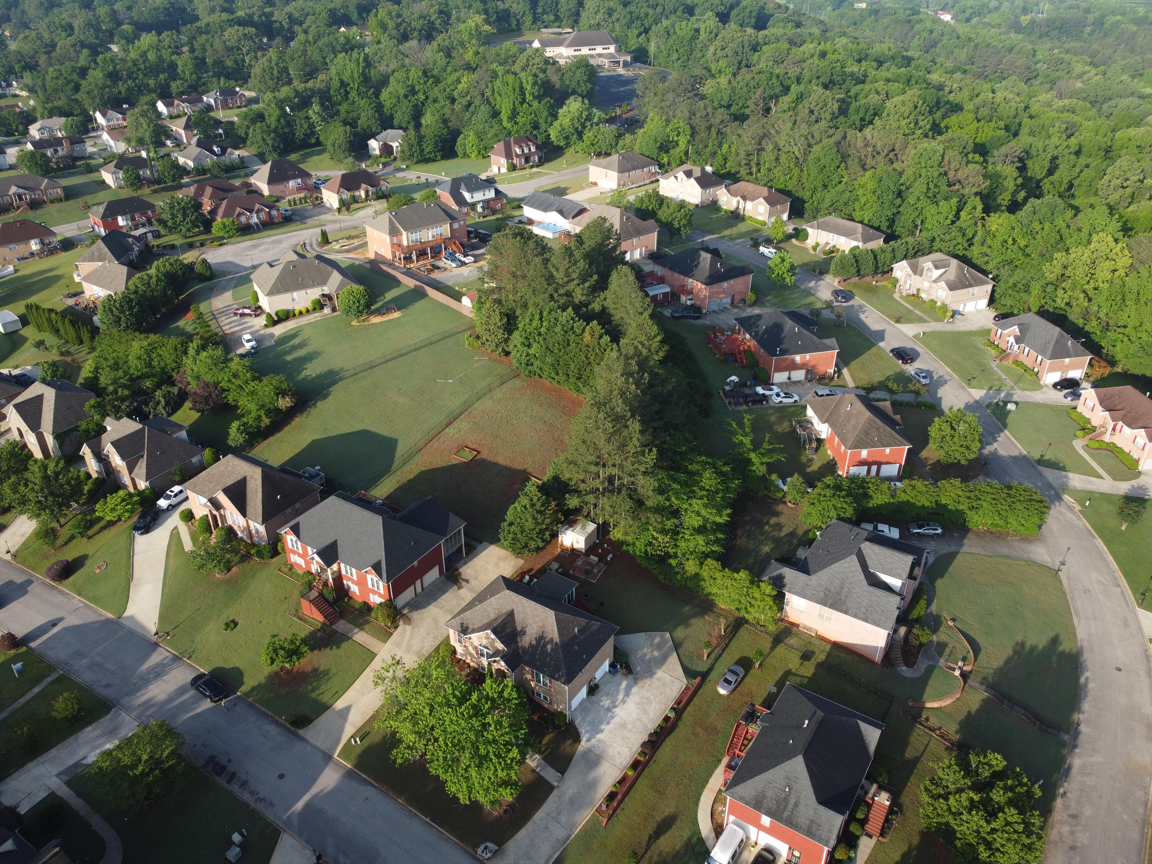
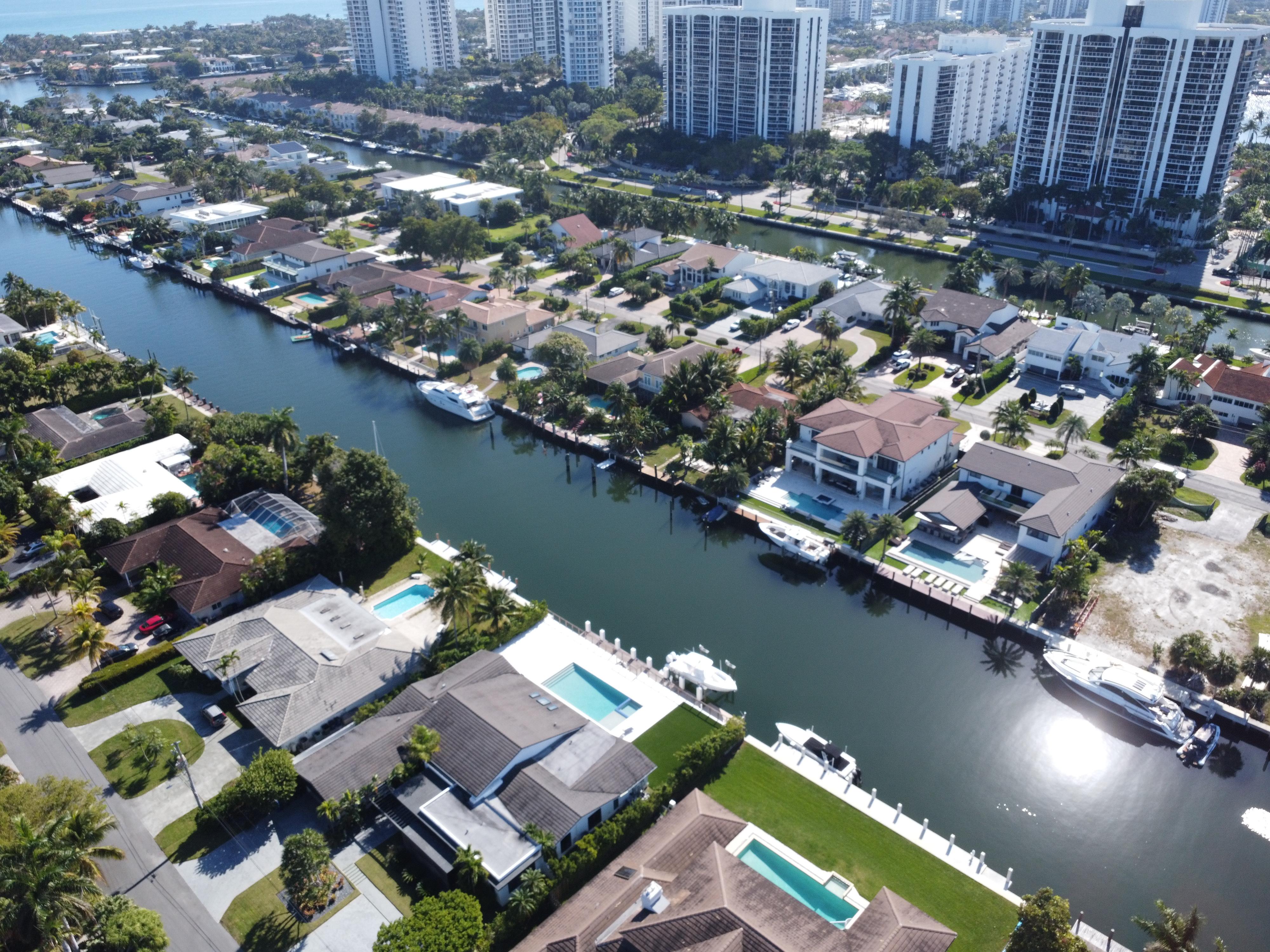
Sample Gallery
Hurricane season starts June 1. Don't wait for the storm to find out what you had!
Opening hours
M: Daylight Hours
T: Daylight Hours
W: Daylight Hours
T: Daylight Hours
F: Daylight Hours
S: Daylight Hours
S: CLOSED
Services
Storm Documentation
Preconstruction Mapping
Portfolio Programs
On-Demand Inspections
Important links
© 2026 Yanis Development Group - All Rights Reserved.
